After the Revolutionary War, Levi Garrison emigrated from New Jersey into Pennsylvania and into Ohio. In 1798, he received 108 acres from John Cleves Symmes in the Colerain Township as part of the Symmes Purchase in southwest Ohio (C1, 4)
Symmes Purchase
John Cleves Symmes was the father-in-law of William Henry Harrison (9th President in 1840). During the war, he was active in Sussex County, New Jersey and was a representative in the Continental Congress. After the war, he petitioned Congress for a million acres in the Northwest Territory, and was signed over approximately 300,000 acres. He paid about 66 cents for an acre.
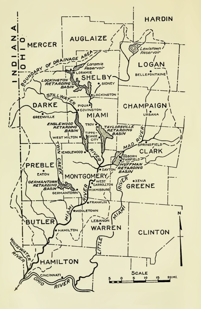
The land is located in southwest Ohio, between the Miami and Little Miama Rivers. As a result, the land surveyed was often called “Between the Miami” and his purchase was at times called the Miami Purchase and at times called the Symmes Purchase.
The methods used to survey the land resulted in multiple errors and created disputes among settlers, as land was sold twice and those who purchase land from Symmes became squatters.
Colerain Township
In 1789, The US government built Fort Washington in what is now Cincinnati, Ohio, to allow Euro-Americans to settle the Miami River Valley which was already occupied by Indigenous People.
Many of the tribes in this area refused to sign or recognize treaties proposed by Euro-Americans. During the Revolutionary War, many had allied themselves with Britain to prevent settlers from taking their homes and lands.
Symmes explicitly petitioned for the erection of fortifications. He was worried that Shawnee defense of their lands would prevent further Euro-American migration and prevent his profit from land sales.
Multiple expeditions and attacks against Miami and Shawnee tribes were launched from Fort Washington in the 1790s. The fort was abandoned in 1803.

Symmes enlisted John Dunlap to survey land as part of his purchase, and Dunlap traveled along the Miami River in 1790. He settled along a great bend in the river and named the area Coleraine as it reminded him of his home in Ireland. It’s along the border between current Hamilton and Butler County. He established Dunlap’s station in order to fortify the Euro-American incursions into Indigenous People’s lands. The station was involved in multiple attacks and Dunlap and the families abandoned it for a different station that was better fortified. Euro-Americans used retellings of the attacks to fuel anti-Indian sentiments among the settlers. The area was established as a township in 1794 the same year as the Treaty of Grenville which forced the Indigenous People to leave. They were relocated to the northwest corner of Ohio State.
It is after this that the Garrison family arrived. They purchased the land from Symmes in 1798 and an 1817 tax list includes a Levi Garrison, Sr. who is residing in Range 1, Township 2, Section 6 of Colerain, Hamilton county (familysearch.org, Ohio Tax Records, 1800-1850,” database with images). A township map from Hamilton Country Recorder’s Office, suggests that the Garrison family lived in the vicinity of what is now the intersection of 1-275 and Pippin Road, near Tripple Creek Park.
